


DeKalb County Airports & Regional Air Service Options
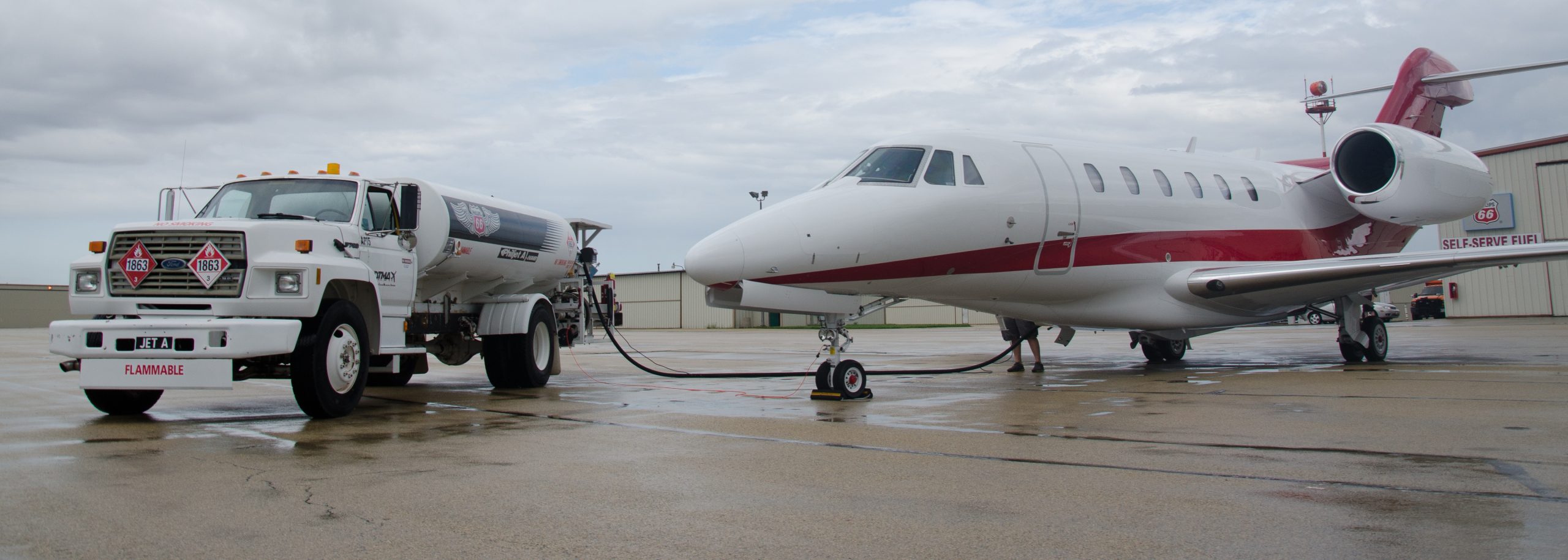
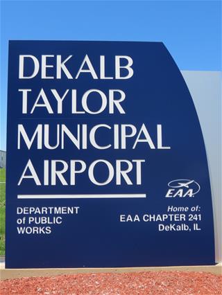
DeKalb – Taylor Municipal Airport (DeKalb, IL)
- 7,025 ft. southwest-northeast primary runway with ILS System
- 4,200 ft. east-west runaway
- New FBO office, maintenance and storage building for business and general aviation aircrafts
- Repair, service, and fuel facilities
- General aviation airport for business and recreational use
Chicago/Rockford International Airport (Rockford, IL)
- 25-45 miles from DeKalb County communities
- Direct flights to Midwestern cities
- Commuter connections to Detroit, Milwaukee, and Minneapolis/St. Paul
- Customs office and in-bond warehouse on site
- Foreign trade zone
- Extensive business and general aviation repair, service, storage, and fuel facilities
Chicago O’Hare International Airport
(Chicago, IL)
- 50-60 miles from DeKalb County communities
- Multiple domestic and international carriers
- Air freight and customs services
Chicago Midway Airport
(Chicago, IL)
- 55-70 miles from DeKalb County communities
- General domestic and North American carriers